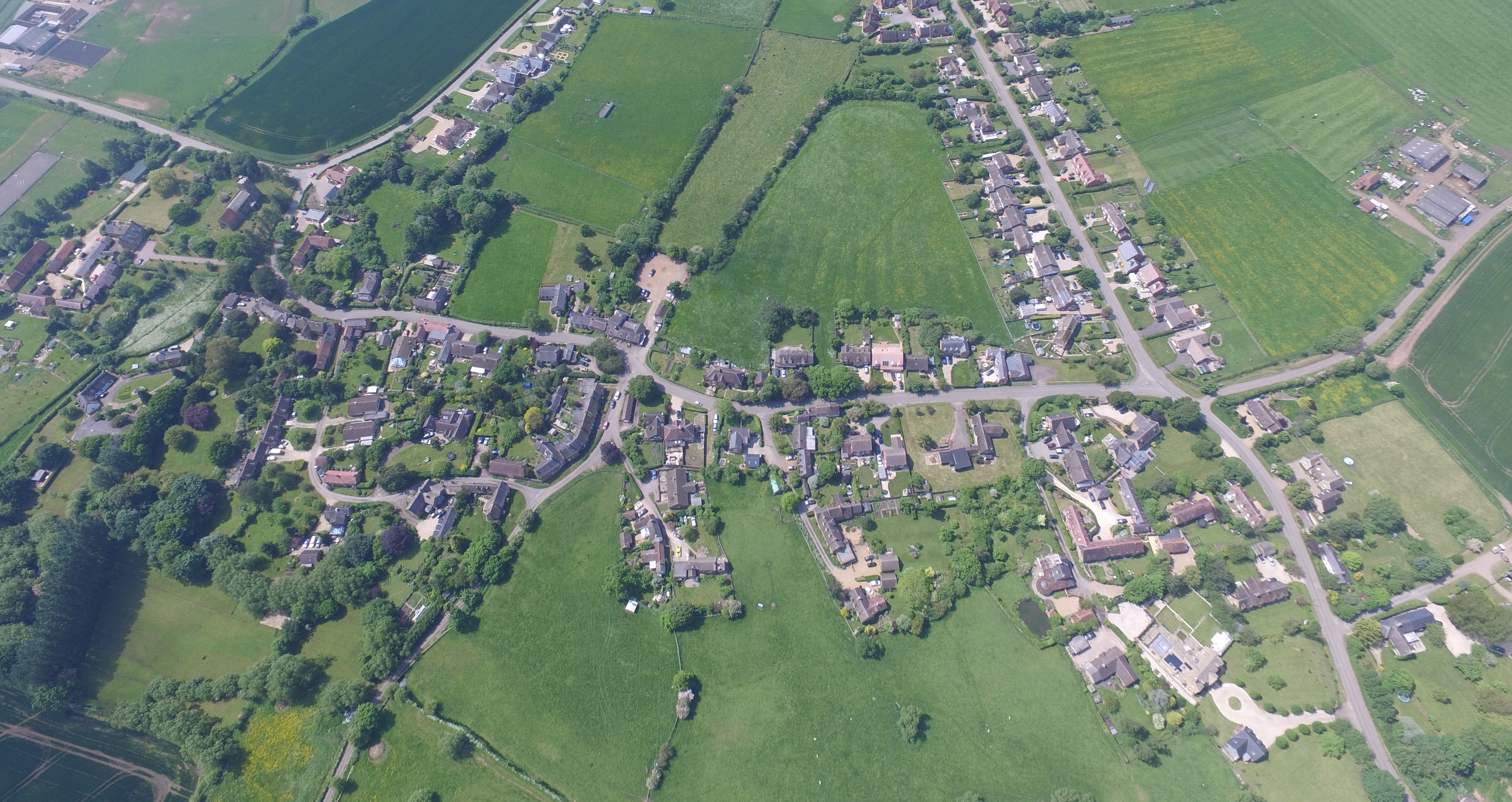
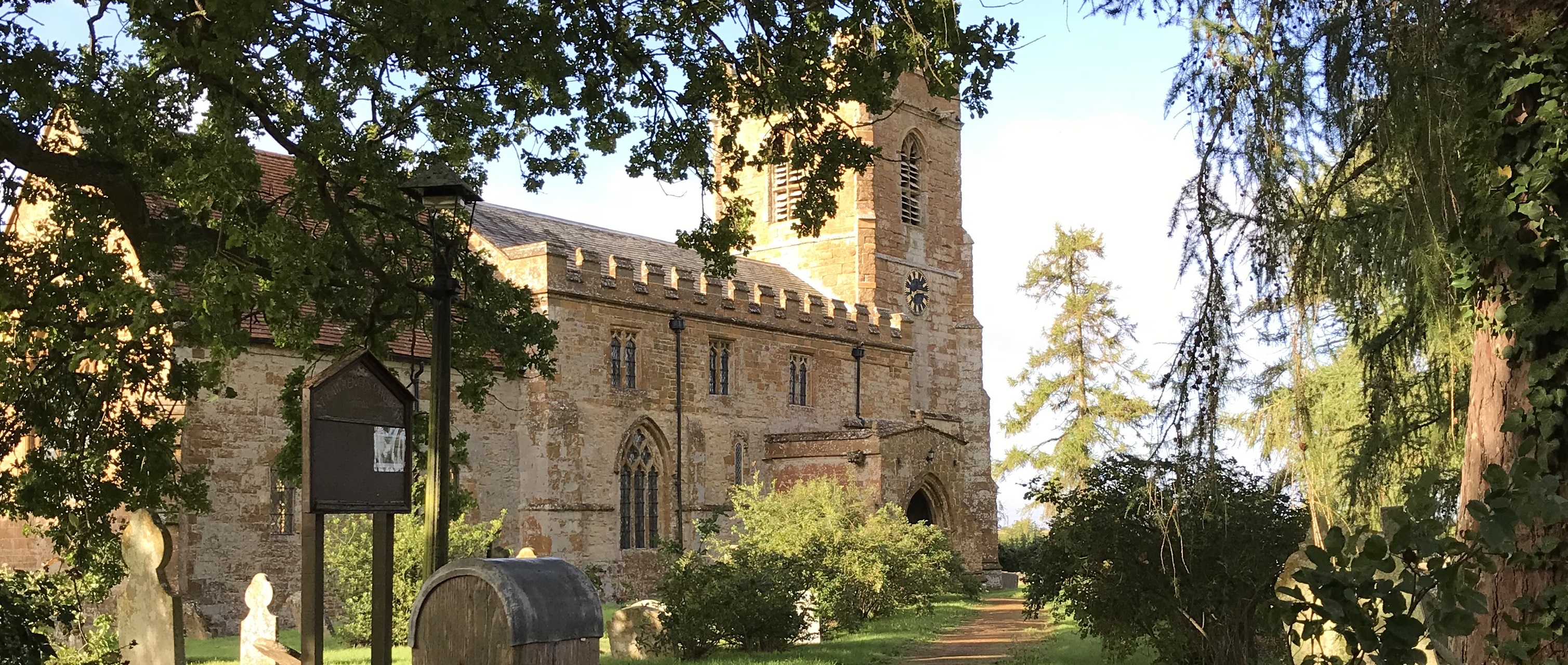
The Village of Oxhill
The village was first mentioned in the Domesday Book as ‘Octesele’ which derives from Ohtan Scylf, which meant Ohta’s ledge of land, hill, slope, or slight ridge. In 1236 it had become Osculve, but often written as Oxshull. The village lies in the Vale of the Red Horse. This name was taken from a horse figure cut into the red earth on the side of the Edgehill ridge. It is thought to lie to the west side of Sunrising Hill and is now covered by a plantation. The original figure is believed to date from Saxon times and was dedicated to the Saxon horse god ‘Tui’ from which Tysoe gets its name. The figure has been estimated to be 90 metres long and some 65 metres deep.
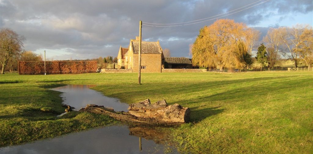
Oxhill’s small stream (which occasionally does flood and has blocked the road in the past) was referred to as the ‘torrent of Oxhill’ in 1241 and there was a mill with ponds and sluice which was given to Bordesley Abbey. The exact location of this mill is unknown.